 Eastmans' Official Blog | Mule Deer, Antelope, Elk Hunting and Bowhunting Magazine | Eastmans' Hunting Journals
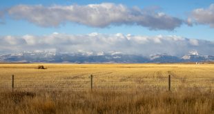
OnXmaps is a necessary tool for any serious hunter. I grew up hunting in Montana which is only 37% public land, including a lot of checkerboarded property and isolated sections of public land throughout the state. Having a tool like onXmaps on either a smartphone or GPS makes understanding boundaries and accessing public land a piece of cake.
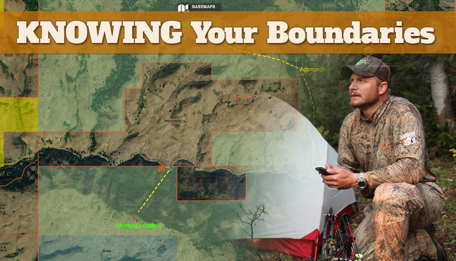
By looking at the boundary overlays of public land, I know that any dark green is Forest Service and most of that area is going to have restricted road access. In addition, all the roads in the forest are marked with road numbers which can be cross-referenced to see if that route is open for motorized travel. If it happens to be a yellow BLM overlay, I can assume most any established and marked roads will be open for motorized travel. This allows me to find every nook and cranny in the unit I plan on hunting.
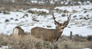
 When I have drawn a quality tag, I find it necessary to exhaust all the public nooks and crannies there are in hopes of finding the buck or bull I want to punch my tag on. I spend countless hours using the onXmapping system, studying boundaries and finding exact access points to public sections that a paper map or Gazetteer can’t show you. A tool like this is priceless!
OnXmaps also offers Google Earth overlays, an App for your phone or GPS, and the new online Map viewer system that is intended to phase out the Google Earth program. However, if you already own Google Earth overlays, they’re yours to keep. You can turn on multiple layers in conjunction or singly; game management units, access roads, bodies of water and more. The new online interactive viewer is constantly being updated with crisp aerials and allows you to print out a map for any state you have service for, whether it’s an aerial, topo, or a simple trail or road map.
I find the most important feature to be the property ownership boundary overlays on the aerial views which make it easy to distinguish boundaries if there are no fences or barriers that show property differentiation in the field. The mobile app is very handy for this in field. OnXmaps gives you the company and/or landowner name of each private parcel which aids in tracking down the owner in the hopes of gaining permission. On top of that, the app uses the integrated GPS in your smartphone to give you your exact location if you are running tight boundaries.
I’d like to stress that no matter if property is marked or not, it is up the user to know the boundaries of land you intend to hunt. On the flip-side having proof for a warden of your routes and knowing boundaries will help your case if you are turned in for trespassing. Also, I highly recommend NOT hunting and running private borders. Especially with archery gear. My rule of thumb is a 300 yard buffer when I hunt next to private parcels. The last thing you want to deal with is an animal expiring on a private parcel you don’t have permission to be on. In most states a landowner DOES NOT HAVE to let you go retrieve your animal. Do yourself a favor and don’t put yourself in that situation.
I don’t see how any serious hunter can live without onXmaps on their phone or computer. It’s a no brainer and has made scouting and hunting much easier and effective giving me maximum potential before I head in the field.