 Eastmans' Official Blog | Mule Deer, Antelope, Elk Hunting and Bowhunting Magazine | Eastmans' Hunting Journals

Oh $&%#!
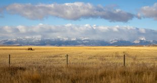
This was my first thought when I spotted the tendril of smoke snaking its way skyward two ridges over. It was two weeks before the opener of archery elk season and I was scouting the unit I had waited so long to draw. The fire could change everything!
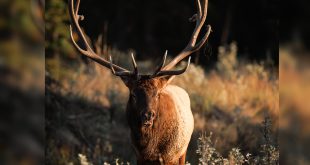
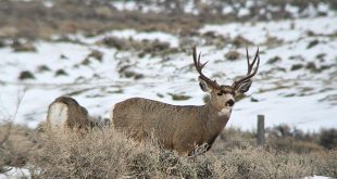
It happens every year out West, fire season. Some years, like this year, the conditions are perfect for wildfires to burn out of control until the snow falls and to say they complicate our hunting plans is putting it mildly. Quite often fires close down access to or completely destroy the habitat we plan to hunt. They make glassing difficult to nigh on impossible and alter the movements of game animals. They are unpredictable at best and flat out life threatening at worst.
This year’s fire season started early and is raging as you read this. A quick look at the Active Wildfire layer in onXMaps on my desktop reveals a minimum of four active wildfires in Wyoming alone and when I zoom out on the map the little red flame symbols pop up in alarming numbers all across the West.

The Active Wildfire layer inside onXMaps is a handy tool this time of year. Not only does it show me where current fires are, when I click on a specific icon I am fed up-to-date information on the fire; name, current acreage, elevation and Lat/Long info, game units affected and when zoomed in, an overlay on the map itself. This layer helps me make informed decisions when creating my hunt plans. For instance, if I were to have a Wyoming type-9 elk tag for area 38 this fall the onXMaps Active Wildfire layer would show me there’s a 685.2 acre active fire on Crater Ridge in this unit. I could then dig deeper to investigate road closures in the immediate area that would limit my access once the season opens.
Back to current fires across the West. Perhaps a state by state tally would be most useful. However, some states have too many incidents to accurately count at this time so if there are more than two dozen, I’ll just say 24+. Both onXMaps and the US Forest Service have interactive maps that will provide you with up to date information. You will find the Forest Service to offer the greatest amount of information at this link
https://www.fs.usda.gov/science-technology/fire/information
Wildfires by MRS State
Arizona – 8
California – 24+ (Too Many To Count!)
Colorado – 13
Idaho – 24+
Montana – 24+
Nevada – 7
New Mexico – 7
Oregon – 24+
Utah – 22
Washington – 24+
Wyoming – 18
As we all creep closer to hunting season we need to pay attention to wildfires in our hunting areas and plan accordingly. Using the onXMaps Active Wildfire layer is a good place to start. As always, good luck this fall and be safe!